Key facts
- Salkantay is the highest snowcapped peak in the Vilcabamba range, at over 6,200 m, and a sacred apu for Andean communities.
- The trek starts at Soraypampa (Mollepata), at 3,800 to 3,900 m and about 3 h from Cusco, and usually includes Humantay Lake on the first day.
- The highest point is the Salkantay Pass, at 4,630 m, which you cross on day two on a stage of about 22 km.
- It takes 5 days (there are 4-day versions), descends into the cloud forest and reaches Aguas Calientes via Hidroeléctrica.
- There’s no daily quota or permit in your name, but you buy your Machu Picchu ticket separately if the trek doesn’t include it.
Salkantay is the highest snowcapped peak in the Vilcabamba mountain range, at over 6,200 m, and it gives its name to the most popular trek to Machu Picchu after the Inca Trail. The classic Salkantay trek takes 5 days: it starts at Soraypampa, about 3 hours from Cusco, crosses the Salkantay Pass at 4,630 m and descends into the cloud forest all the way to Aguas Calientes. It doesn’t require a permit with a quota, so you can book it just a few weeks ahead.
Here you’ll find where the mountain is, the day-by-day route, the elevation of each section, the difficulty, the best time to go and what to bring. If you’re comparing the Salkantay with other routes, our Machu Picchu treks compared guide puts them side by side.
Salkantay at a glance
| Fact | Salkantay trek |
|---|---|
| Location | Vilcabamba mountain range, Cusco Region; starts in Mollepata District (Anta Province) |
| Salkantay Mountain | Over 6,200 m; the highest peak in the Vilcabamba range |
| Highest point on the trek | Salkantay Pass, at 4,630 m |
| Start | Soraypampa, at 3,800 to 3,900 m and about 3 h from Cusco by road |
| Duration | 5 days and 4 nights (3 camping and 1 in a hotel); there are 4-day versions |
| Distance | About 56 km on foot, 72 km in total |
| Difficulty | Challenging, because of the altitude on day two |
| Permit | No daily quota |
| Best season | April to October |
| Arrival at Machu Picchu | Via Hidroeléctrica to Aguas Calientes, and from there to the citadel |
Salkantay Mountain: where it is and why it’s sacred
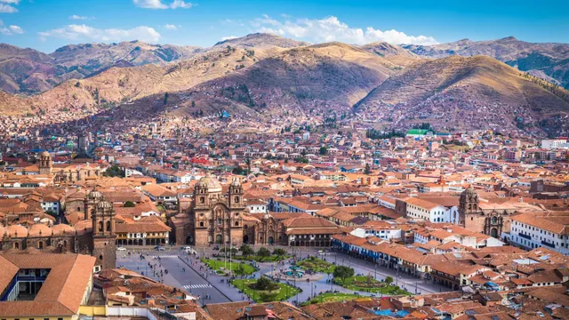
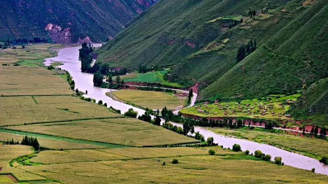
Snowcapped Salkantay rises northwest of Cusco, between the Anta plateau and the Urubamba canyon. It’s the great peak of the Vilcabamba range and, on clear days, you can see it from many points in the region, even from the top of Machu Picchu Mountain. Measurements of its summit vary by source, but all of them are above 6,200 m.
For Andean communities it’s an apu, a sacred, protective mountain. The name is usually translated as “wild mountain.” Climbing to its summit is a technical mountaineering expedition: the trek doesn’t go up the peak, but crosses the pass at its foot.
Salkantay trek: where it starts
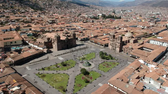
The route sets off from Soraypampa, in Mollepata District, at an elevation of 3,800 to 3,900 m depending on the source. You get there by road from Cusco in about three hours, passing through the town of Mollepata. It’s the same starting point as the day trip to Humantay Lake, which is why many versions of the trek include the lake on the first day. In Soraypampa the community charges an entrance fee in cash.
The Salkantay route, day by day
This is the most common 5-day itinerary. Each agency changes a campsite here and there, so use it as a guide, not a fixed schedule.
5-day Salkantay trek: the altitude, stage by stage
- Day 1
- Soraypampa3,800–3,900 m
- Humantay Lake≈ 4,200 m
- Day 2
- Salkantay Passthe highest point of the trek4,630 m
- Day 4
- Hidroeléctrica≈ 1,890 m
- Aguas Calientes2,040 m
- Day 5
- Machu Picchu2,430 m
| Day | Section | Key elevation | Where you sleep |
|---|---|---|---|
| 1 | Cusco → Soraypampa and hike up to Humantay Lake | About 3,800 to 3,900 m; the lake at about 4,200 m | Campsite in Soraypampa |
| 2 | Soraypampa → Salkantay Pass → descent into the valley | 4,630 m at the pass | Campsite in the Chaullay or Collpapampa area |
| 3 | Descent through the cloud forest, among rivers and coffee farms | Mild zone | Campsite in the La Playa or Lucmabamba area |
| 4 | Llactapata → Hidroeléctrica → Aguas Calientes | About 1,890 m at Hidroeléctrica | Hotel in Aguas Calientes |
| 5 | Visit to Machu Picchu and return to Cusco | The citadel | — |
Day 1: Soraypampa and Humantay Lake
You leave Cusco before dawn. From Soraypampa you hike up a steep trail to Humantay Lake, at about 4,200 m, at the foot of the snowcapped peak of the same name. It’s the best acclimatization for what’s ahead: you gain altitude, go back down to sleep lower and get used to the cold at night.
Day 2: Salkantay Pass
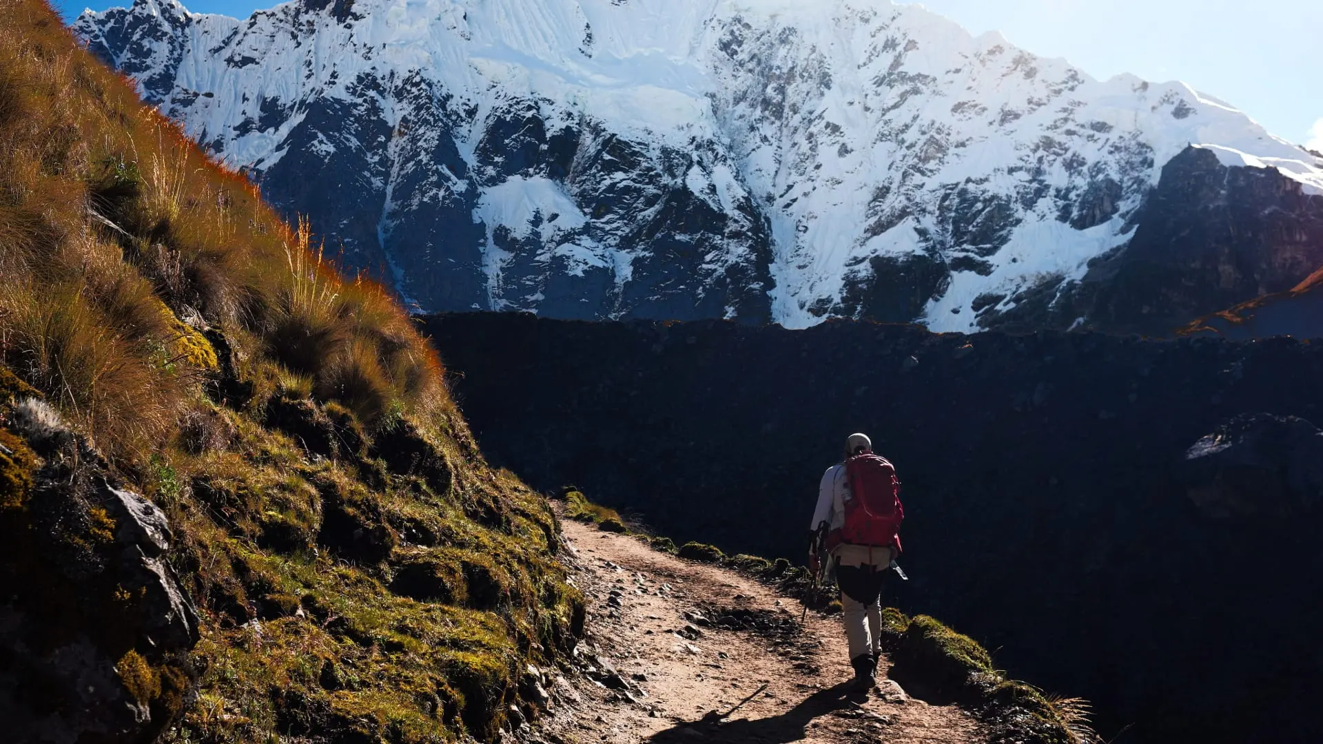
This is the longest and hardest day: about 22 km and around 9 hours. You zigzag up to the Salkantay Pass, at 4,630 m, with the glacier right above you. Then a long descent begins toward the valley, where the landscape shifts from rock and ice to grassland and forest. You reach camp with tired legs, but in a milder climate.
Day 3: the cloud forest
The scenery changes completely. You walk beside the river, among bromeliads, waterfalls and plantations of coffee, bananas and avocados. It’s hot and humid, and the mosquitoes appear. Some agencies include a visit to a coffee farm or a stop at the hot springs in the Santa Teresa area.
Day 4: Llactapata and Hidroeléctrica
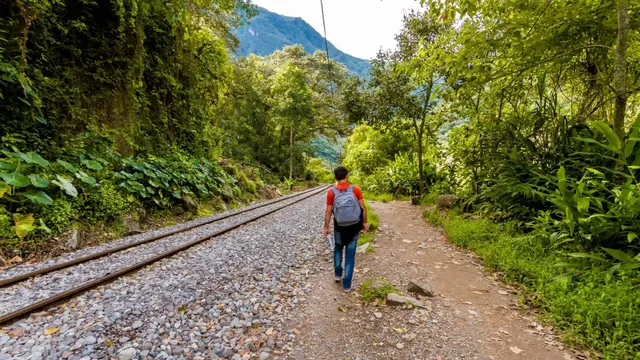
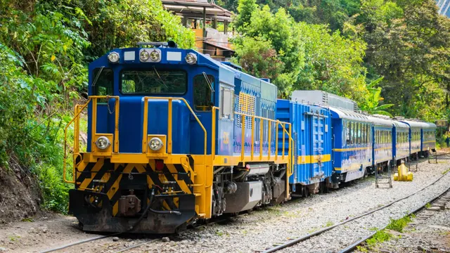
You climb to the Inca site of Llactapata, west of Machu Picchu, where you can see the citadel in the distance. You descend to Hidroeléctrica, at about 1,890 m, and walk about 11 km along the railroad tracks to Aguas Calientes, in about 2 h 30 min. That night you sleep in a hotel. The details of that section are in our guide to the Hidroeléctrica route.
Day 5: Machu Picchu
You go up to the citadel by bus or on foot, take the guided tour and return to Cusco by train or, on budget versions, by walking back to Hidroeléctrica and then by road. Double-check what your trek includes: entry to Machu Picchu and the return train aren’t always included.
Important: the Salkantay doesn’t give you access to the citadel. You need your own Machu Picchu ticket for day 5. If your agency doesn’t include it, buy it well in advance, because in high season it sells out before the trek does.
Salkantay elevation and difficulty
The Salkantay is a challenging trek, mostly because of the altitude. The 4,630 m pass is higher than any point on the Inca Trail, and the climb on day two is done with little oxygen. On the other hand, there aren’t thousands of stone steps: the trail is dirt and rock, with long climbs and even longer descents.
- Acclimatization: spend at least two days in Cusco or the Sacred Valley before you start. If you have strong symptoms, tell your guide. More in altitude sickness in Cusco.
- Fitness: you need to be able to hike 7 to 9 hours in a day. Train with long hikes and hills.
- Contrasts: within 48 hours you go from below-freezing nights to humid jungle heat.
- Horses: on the section up to the pass there are usually emergency or rental horses. Ask beforehand whether your agency brings them.
This information is general and doesn’t replace medical advice. See your doctor before your trip if you have heart or respiratory problems.
4-day or 5-day Salkantay trek?
The 4-day versions combine two days of descent or reach Aguas Calientes a day earlier. They go just as high and are more intense. Choose the 4-day trek if you’re well acclimatized and short on time; if not, the 5-day version spreads the effort out better.
Best time for the Salkantay
The dry season, from April to October, is the best: the sky is clear and you can see the whole snowcapped peak. Nights in Soraypampa are very cold, below freezing. From November to March there’s more rain, the trail gets muddy and the road in the Santa Teresa area can be hit by landslides. Since the Salkantay doesn’t close in February, it’s the classic alternative when the Inca Trail is closed. See Cusco weather by month.
Tip: even though there’s no quota, in June, July and August book the trek and your Machu Picchu ticket several weeks ahead. What sells out is entry to the citadel and the return train, not the trail.
Salkantay on your own or with a guide
The Salkantay doesn’t require a permit, so you can do it on your own if you have experience with high-altitude treks, carry your own gear and know how to navigate. There are basic lodges and campsites at several stops. Even so, on the second day you cross a high-mountain pass without consistent cell coverage, and the weather changes fast.
On an organized trek, mules carry the gear, there’s a cook and a guide who knows the route and knows how to respond to soroche (altitude sickness). Always compare what’s included: nights camping and in a hotel, whether the sleeping bag is part of the package, whether there’s a Machu Picchu ticket and which return train you get.
Salkantay and Inca Trail combined
There’s a variant that crosses the Salkantay Pass and joins the Inca Trail to enter through the Sun Gate. That one does fall within the Inca Trail Network: it requires a ticket issued in your name with a quota and can only be done with a licensed agency, just like the Inca Trail.
What to bring on the Salkantay
- A sleeping bag rated for below-freezing temperatures, your own or rented.
- Layers: a thermal base layer, a fleece, a down or synthetic jacket and a rain jacket, plus light clothes for the jungle.
- Broken-in hiking boots and sandals for camp.
- Trekking poles for the long descents.
- Insect repellent and sunscreen: the high-altitude sun burns, and there are mosquitoes in the cloud forest.
- Cash for the community entrance fee, snacks, hot showers where available and tips.
- A headlamp and a reusable bottle.
You’ll find the full list in our Cusco packing list. Your large backpack can’t go into the citadel, so leave it at your hotel in Aguas Calientes on day 5.
Summary: Salkantay or something else?
- Salkantay: if you want high mountains and glaciers and couldn’t get an Inca Trail permit.
- Inca Trail: if you prefer archaeological sites along the way and entering on foot through the Sun Gate.
- Lares: if you’re looking for something shorter, moderate and more cultural.
- Inca Jungle: if you want adventure without as much altitude.
If you have a week in Cusco, our Cusco itinerary shows how to fit in the Salkantay along with acclimatization days.
Frequently asked questions
How high is Salkantay?
The snowcapped peak is over 6,200 m, depending on the measurement. The trek doesn’t go to the summit: its highest point is the Salkantay Pass, at 4,630 m.
Where is Salkantay Mountain?
In the Vilcabamba mountain range, northwest of Cusco. The trek starts at Soraypampa, in Mollepata District, about three hours from the city by road.
How many days is the Salkantay trek?
The classic version takes 5 days and 4 nights, with the Machu Picchu visit on the last day. There are 4-day versions, which are more intense.
How hard is the Salkantay trek?
It’s challenging because of the altitude: on day two you climb to 4,630 m and hike for about 9 hours. You need to be in good shape and to acclimatize for at least two days beforehand.
Do you need a permit for the Salkantay trek?
No. Unlike the Inca Trail, it has no daily quota. You only pay the community entrance fee at Soraypampa and your Machu Picchu ticket for the visit.
Can you do the Salkantay trek without a tour?
Yes, if you have experience with high-altitude treks and carry your own gear. Going with a guide and mules is safer, especially over the 4,630 m pass.
When is the best time to do the Salkantay trek?
From April to October, with clear skies and below-freezing nights. From November to March there’s mud and a risk of landslides in the Santa Teresa area.
Which is better, the Salkantay or the Inca Trail?
The Inca Trail has archaeological sites along the way and enters Machu Picchu on foot; the Salkantay climbs higher and doesn’t need a permit. If there are no Inca Trail permits left, the Salkantay is the most complete alternative.
Official sources
- Inca Rail: Humantay Lake and Soraypampa, elevations and access blog.incarail.com
- PeruRail: Hidroeléctrica route perurail.com
- Tu Boleto (Peru’s Ministry of Culture): official Machu Picchu ticket sales tuboleto.cultura.pe

How we put this guide together
Written by Paul Pumalloclla · 17 years in tourism
- Official sources Prices, opening hours and rules checked against Peru’s Ministry of Culture, SERNANP, PromPerú and the train and bus operators.
- Sources cited Every guide links to the sources we used at the end.
- Always up to date When a rule changes, we update the guide and its date.
We’re not a travel agency: we don’t sell tours or take bookings. If a link belongs to a commercial partner, we label it next to the link, and that never changes the facts or the recommendations.
Guide history
- Published
- Last reviewed
Spotted something out of date?
Let us know and we’ll check it against the official source.
Report a change